

Forestry & Sustainability
Forest disturbance monitoring. Event detection, such as forest clearcutting and damage assessment.
Carbon Stock Assesment
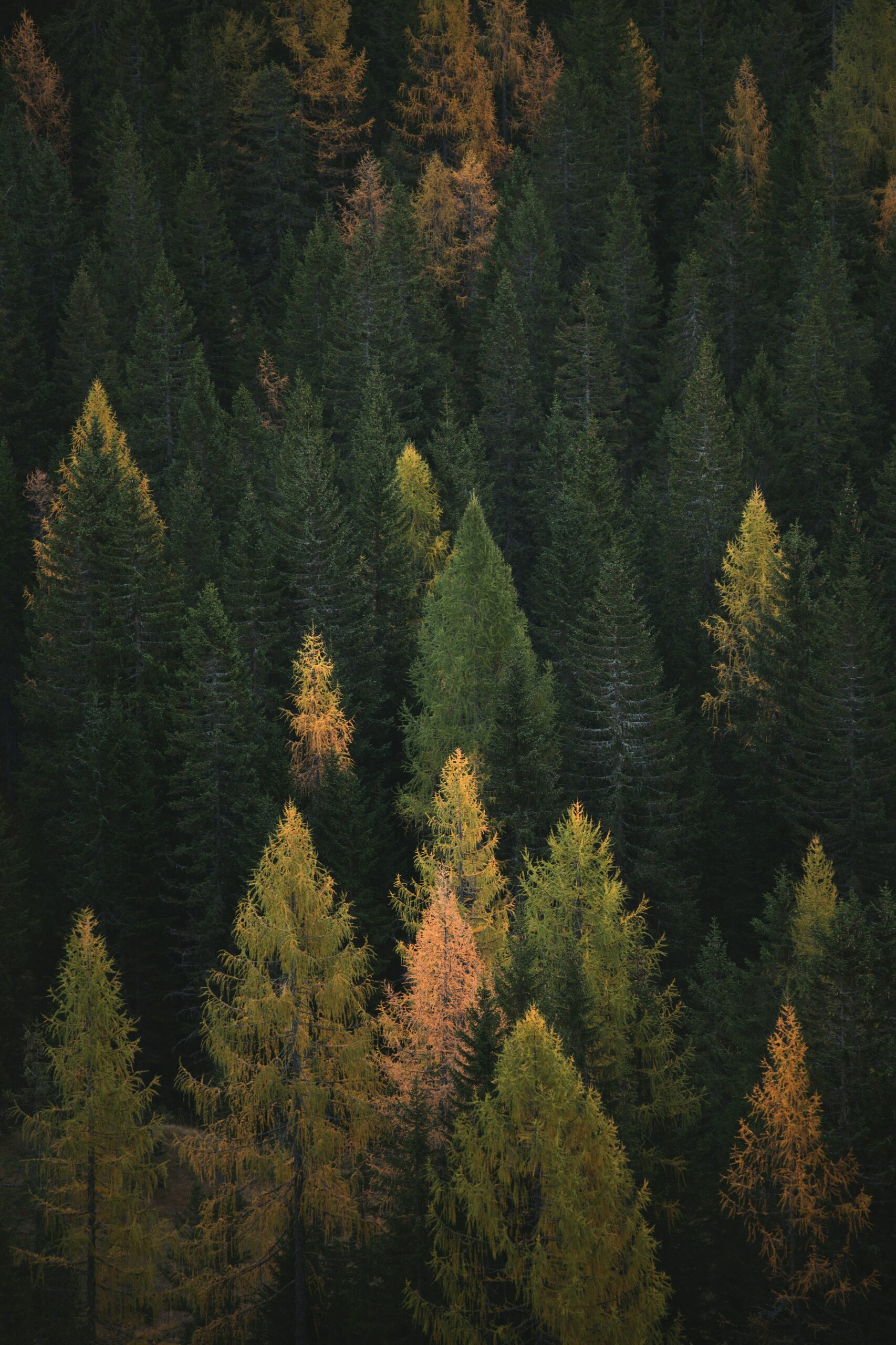
Forest Disturbances
Forest Inventory
3D-SAR Mission Data
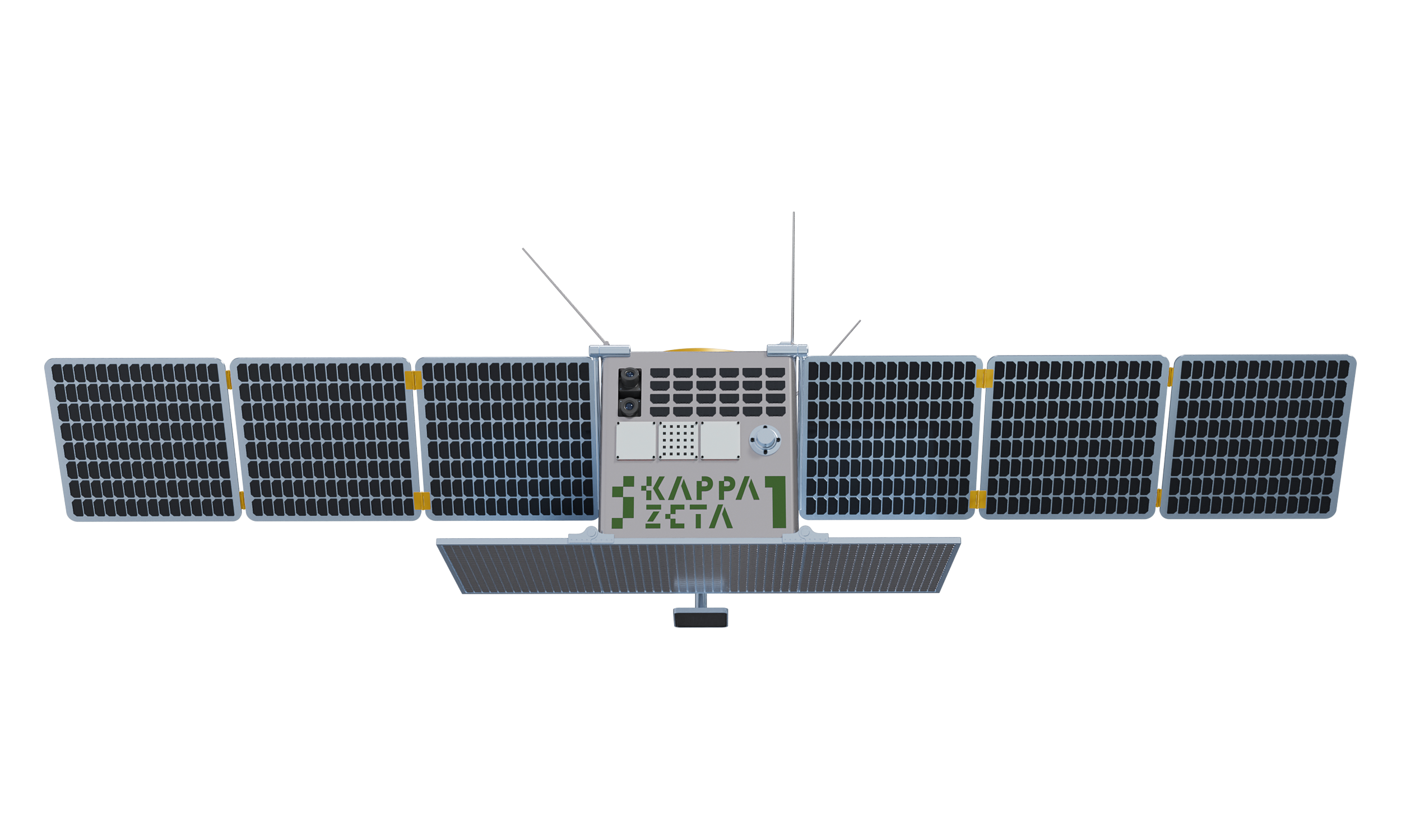
3D-SAR Satellite Mission for Forest Insights
Leverage advanced SAR and 3D data models to accurately assess timber volumes and carbon stocks, supporting sustainable forestry, carbon offset validation, and regulatory compliance across ecosystems
FOREST HEIGHT AND VOLUME MEASUREMENTS FROM SPACE, GLOBALLY
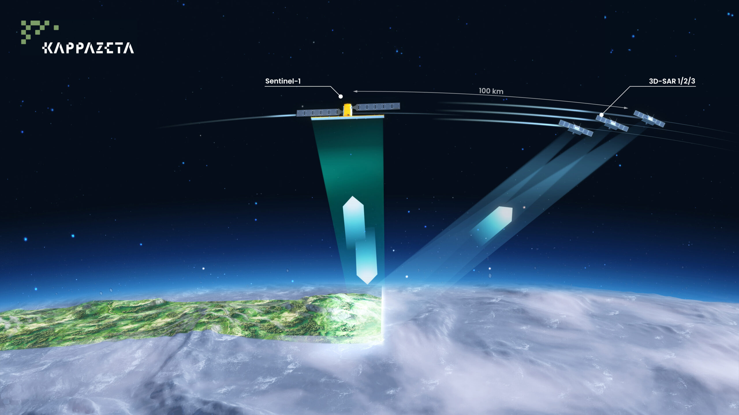
Our 3D-SAR passive receiver satellites will be flying in formation with Sentinel-1 which is a clever augmentation of existing Copernicus space infrastructure.
This will enable the Best known combination of:
- Global coverage – 12 to 36 days revisit
- High accuracy – direct height measurements with 90%+ confidence based on TanDEM-X
- Affordability


SEVICES ENABLED BY 3D-SAR SATELLITE MISSION
Best combination of high accuracy, global scalability and unit price in forest carbon stock estimation and forest management.
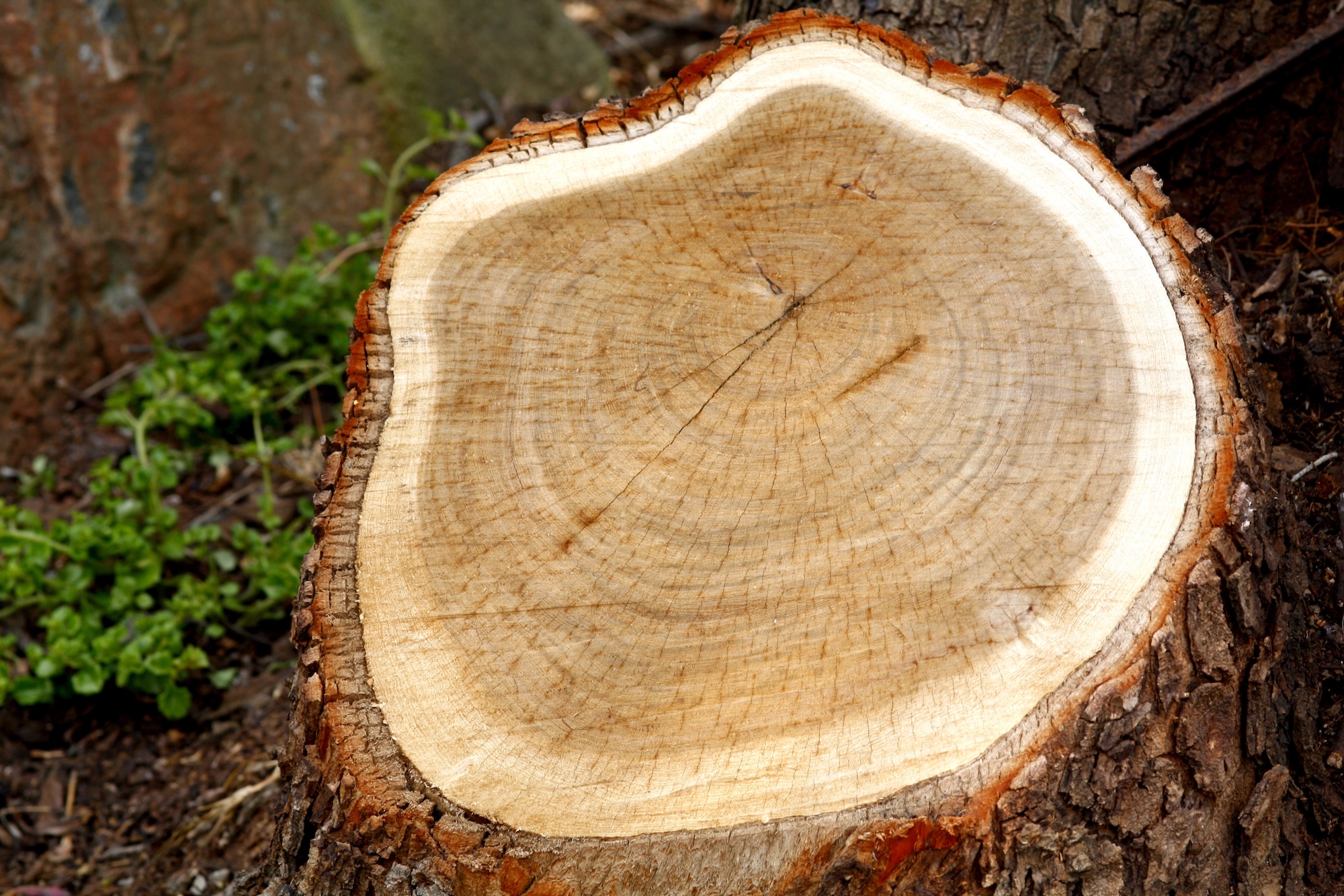
Carbon Stock Assessment
Direct forest height measurements with over 90% confidence based on TanDEM-X heritage.
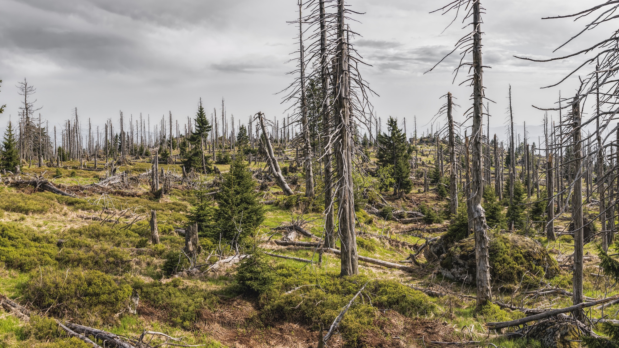
Forest Disturbances
Revisit frequency of 12 to 36 days enables consistent global monitoring.
Forest Inventory
Scalable and affordable solution for large-area forest carbon stock estimation.
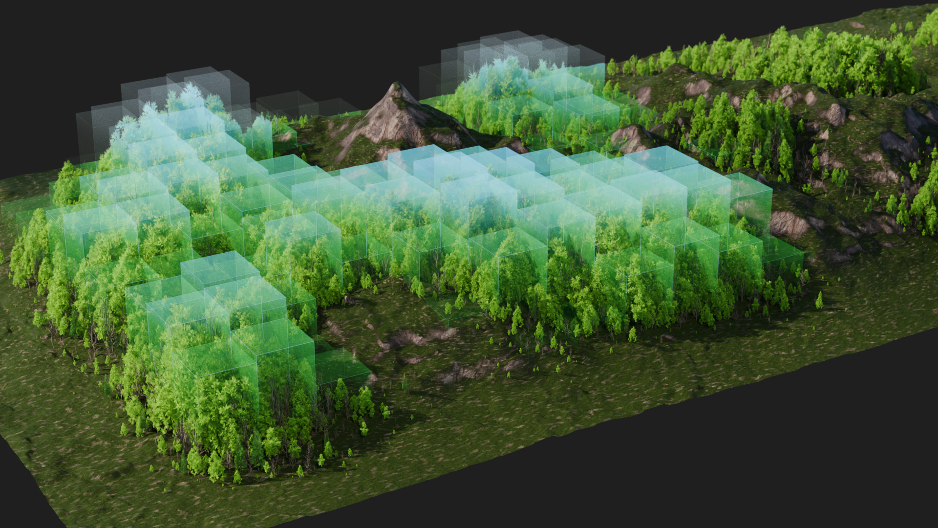
3D-SAR Data & Height Map
Combines high accuracy, global scalability, and affordable unit costs—ideal for forest carbon verification and sustainable forest management.
Carbon Stock Assessment
Identify disturbances and events in forests such as clearcutting and damaged forest areas.
Effectively monitor forest management activities and events without the need for physical on-site inspections. Near real-time forest disturbance monitoring helps to ensure compliance with European regulations such as EUDR and LULUCF reporting, all while maintaining reliable accuracy.
Here is another paragraph of text for example. Here is another paragraph of text for example.Here is another paragraph of text for example.
Forest Disturbances
Detect and monitor the carbon stock of your carbon investment
High-accuracy remote sensing methods offer a cost-effective method to verify and monitor changes in carbon stock to increase the value of investments and avoid greenwashing claims.
Forest Inventory
Detect and monitor the timber stock of forests.
High-accuracy remote sensing methods enable cost-effective assessment of forest parcel value and its change in time, enabling better decisions in forest management.
3D-SAR Data & Height Maps
Developing a passive receiver satellite constellation to enable the vertical dimension in Sentinel data.
Three-dimensional SAR data enables quantification of timber and carbon stock and its change with over 90% accuracy, enabling many high-value applications not available with existing mission data.
Get in touch with the team

Martin Jüssi
3D-SAR Mission Manager


Anton Kostiukhin
Software developer