

Defence & Intelligence
KappaZeta presents a range of situational awareness solutions aimed at enhancing regional defence and security capabilities.
Landscape Passability
Deforestation & Disturbance Monitoring
Vessel Detection
Flood Detection
Situational awareness from space

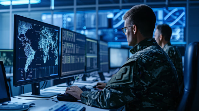
Enhance operational planning and risk assessment with real-time radar data analytics, enabling improved surveillance, logistics, and decision-making for national security and strategic defense initiatives.
FOREST HEIGHT AND VOLUME MEASUREMENTS FROM SPACE, GLOBALLY
Our 3D-SAR passive receiver satellites will be flying in formation with Sentinel-1 which is a clever augmentation of existing Copernicus space infrastructure.
This will enable the Best known combination of:
- Global coverage – 12 to 36 days revisit
- High accuracy – direct height measurements with 90%+ confidence based on TanDEM-X
- Affordability


SEVICES ENABLED BY 3D-SAR SATELLITE MISSION
Assess soil and ground conditions to evaluate where vehicles and equipment can move safely and effectively—vital for both military operations and emergency logistics.
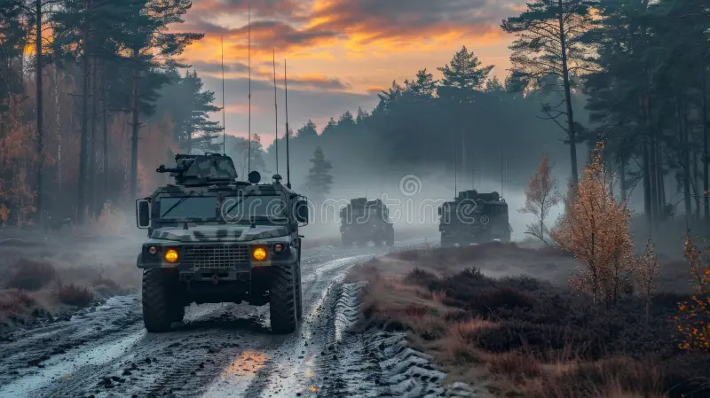
Terrain Trafficability Monitoring
Assess soil and ground conditions to evaluate where vehicles and equipment can move safely and effectively—vital for both military operations and emergency logistics.
Infrastructure and Activity Detection
Monitor strategic infrastructure, detect changes, and track activity over time using consistent, cloud-penetrating radar data.
Persistent Surveillance
Enable continuous observation regardless of weather or daylight, ensuring uninterrupted situational awareness.
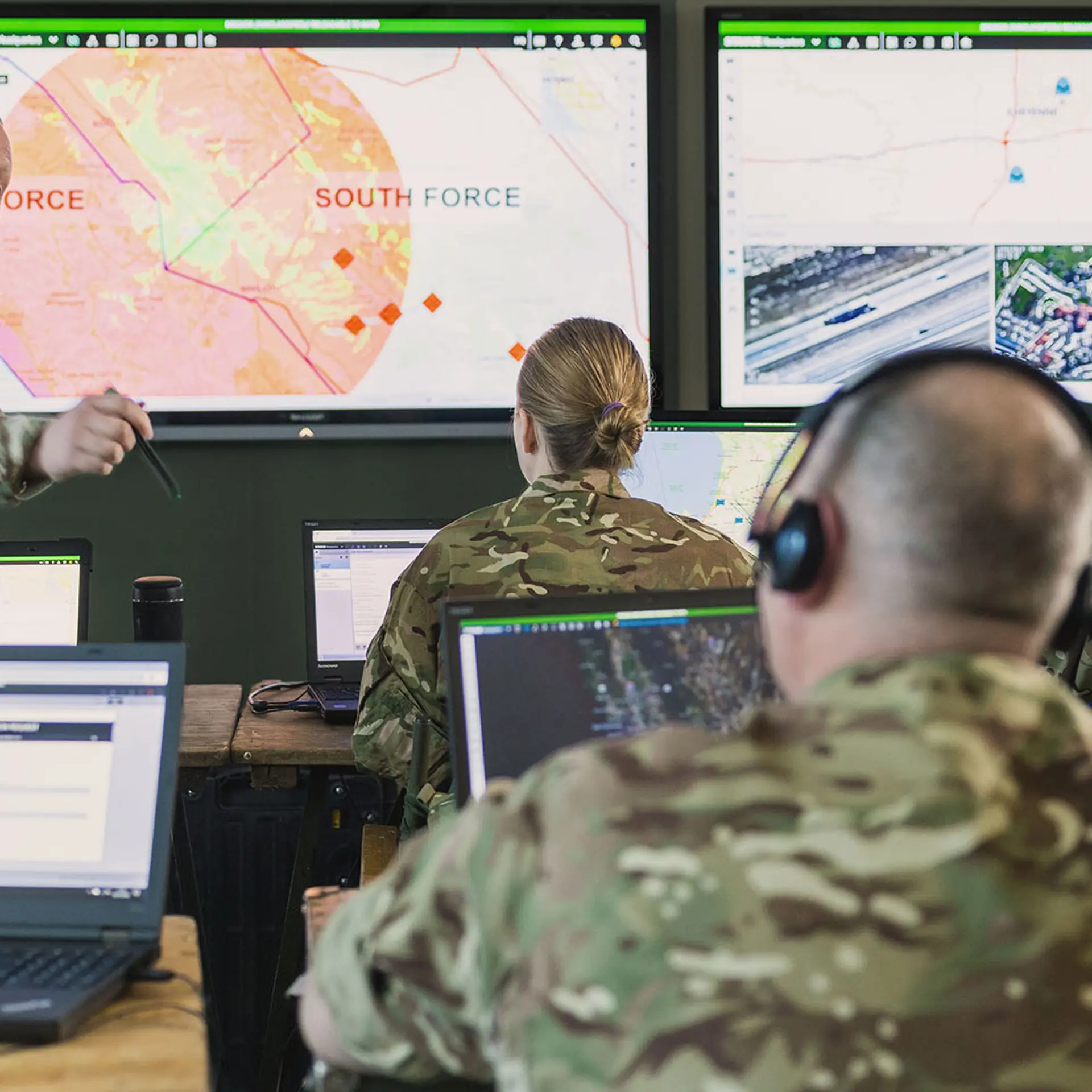
Decision Support Systems
Integrate satellite intelligence into operational tools to improve planning accuracy, risk assessment, and real-time decision-making.
Landscape Passability
Capability to monitor landscape passability for the logistics purposes of military units. Near real-time information of passability is needed due to changing weather conditions and their effects on the land surface.
The purpose of this solution is for the Defence Forces to gain an understanding of how to better plan infantry and machinery logistics and anticipate enemy movements.
Deforestation & Disturbance Monitoring
Capability to monitor landscape passability for the logistics purposes of military units. Near real-time information of passability is needed due to changing weather conditions and their effects on the land surface.
The purpose of this solution is for the Defence Forces to gain an understanding of how to better plan infantry and machinery logistics and anticipate enemy movements.
Vessel Detection
Detect the amount of vessels in an area of interest and the percentage of dark vessels with their AIS turned off.
Enhancing maritime situational awareness is crucial for identifying potential threats and ensuring the safety of national waters. It helps in detecting anomalies and unusual patterns of behavior at sea and serves as an early warning system.
Flood Detection
Capability to monitor flooded areas caused by major downpours or destruction of dams. Understand which areas have been affected the most.
Detection of flooded areas enables swift and adept actions by first responders. This ensures the effective utilization of emergency resources with the most current data.
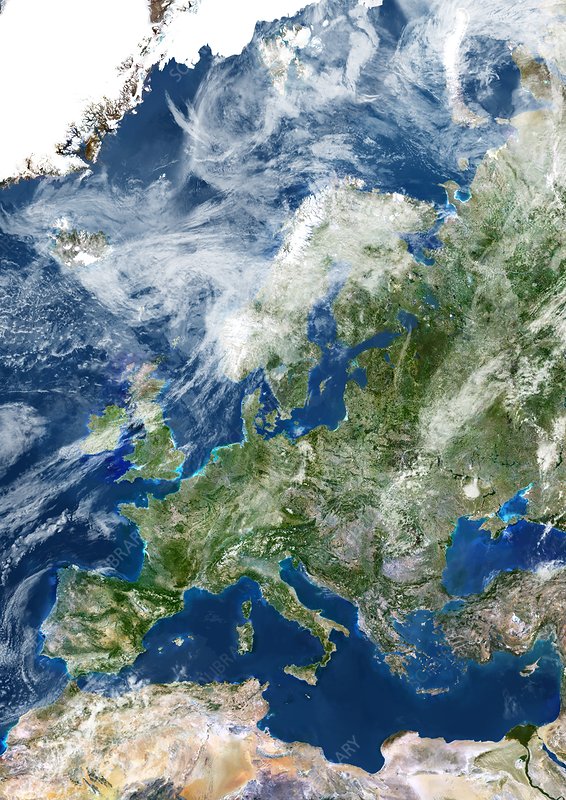
Satellite terrain footage
This video shows terrain footage taken from a satellite.
Get in touch with the team


Heido Trofimov
Software developer

Jürgen Lina
Head of Business Strategy

Indrek Sünter
Software developer