

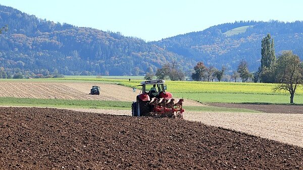
Agriculture
KappaZeta delivers invaluable insights that governments and agricultural procures can use to detect farming practices, anomalies or fraudulent activities on a field level.
Farming Events Detection
Crop Type
Field Heterogeneity
Damaged Area Detection
Smart insights for sustainable farming
Utilize satellite data to detect crop types, track growth stages, monitor ploughing and harvesting, and assess damage—all to support farmers, insurers, and policymakers with precise, real-time agricultural intelligence.
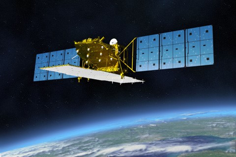
FOREST HEIGHT AND VOLUME MEASUREMENTS FROM SPACE, GLOBALLY
Our 3D-SAR passive receiver satellites will be flying in formation with Sentinel-1 which is a clever augmentation of existing Copernicus space infrastructure.
This will enable the Best known combination of:
- Global coverage – 12 to 36 days revisit
- High accuracy – direct height measurements with 90%+ confidence based on TanDEM-X
- Affordability


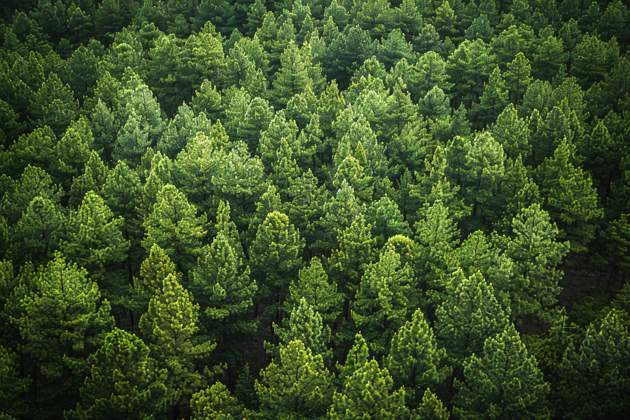
SEVICES ENABLED BY 3D-SAR SATELLITE MISSION
Best combination of high accuracy, global scalability and unit price in forest carbon stock estimation and forest management.
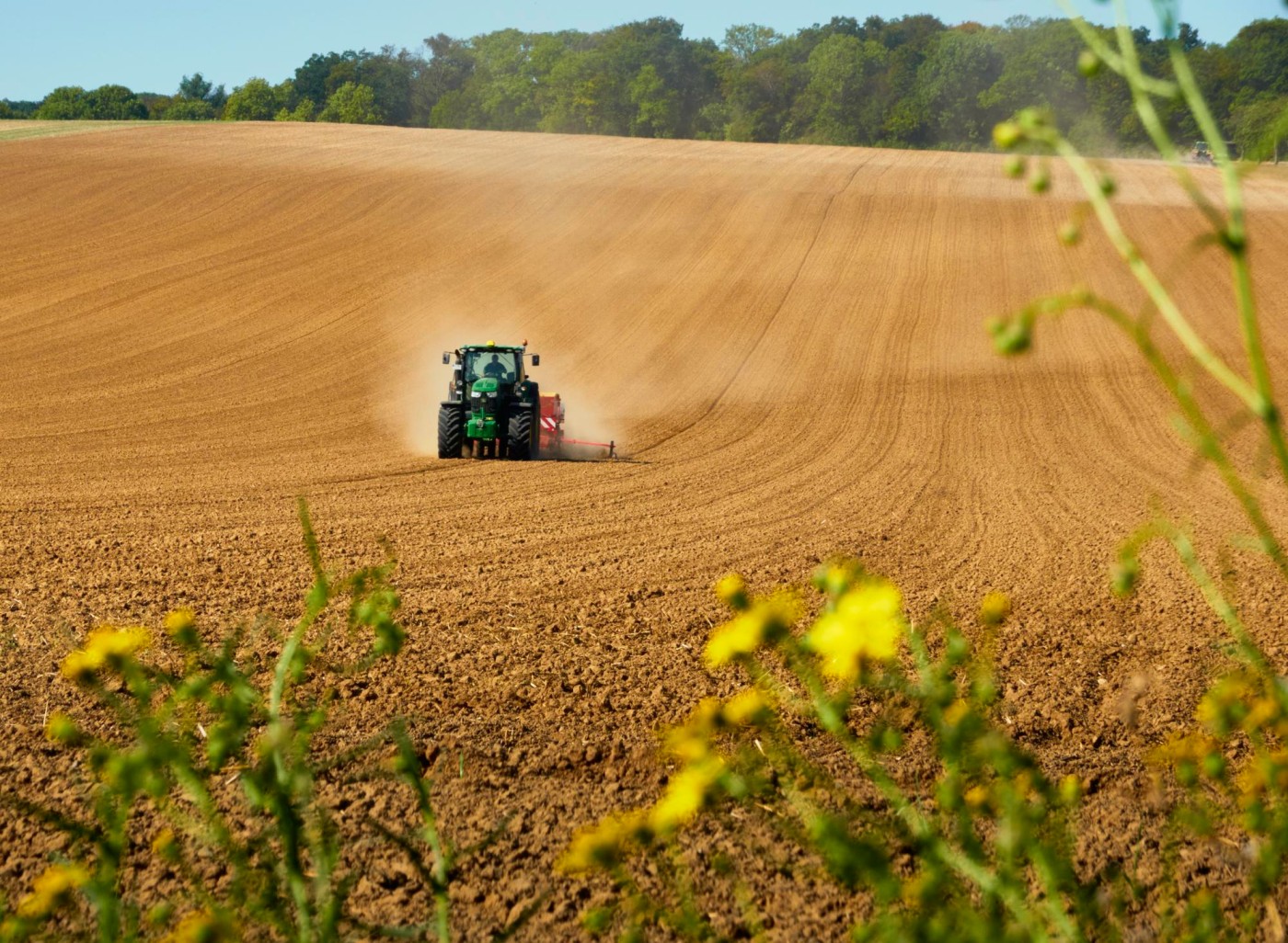
Farming Event Detection
Detect mowing, harvesting, and ploughing dates at field level. Verify CAP subsidy claims or insurance reports with accurate satellite-derived events.
Crop Type Classification
Identify crop types and rotation practices. Improve forecasting, reduce manual fieldwork, and enable validation for carbon farming projects.
Field Heterogeneity Mapping
Spot areas with mixed crop types within a field. Essential for accurate subsidy allocation and indemnity assessments.
Damage Detection
Detect crop damage caused by drought, frost, or other events. Helps farmers respond swiftly and provides cost-effective data for insurance loss adjustment.
Farming Events Detection
Detect the dates of mowing, harvesting and ploughing events on a field level.
Meet CAP subsidy regulations or verify insurance claims more efficiently and accurately by cross-referencing reported farming activities with detected events.
Crop Type
Detect the crop types and crop rotation practices on fields of interest.
Precise data on crop distribution and acreage will enhance market forecasting and reduce time spent on physical field inspections. Additionally accurate crop type information is necessary for monitoring and verification of carbon farming projects to confirm that it meets the requirements of the standard it is using.
Field Heterogeneity
Detect heterogeneous areas such as multiple crop types growing within a field.
Accurate field heterogeneity detection assists in ensuring subsidy and indemnity payout compliance.
Damaged Area Detection
Detect areas in the field with low- medium and high damage to the crops caused by extreme weather events like droughts and winterkill.
The main value of detecting crop damages is that it helps farmers quickly address losses and ensures accurate subsidy allocations for agricultural paying agencies. Assessing damages to crops remotely enables insurance companies to make the loss adjustment process more cost-efficient.
Video footage
Drone footage of an architectural field.
Get in touch with the team

Indrek Sünter
Software developer
Karl Hendrik Tamkivi
Machine Learning Engineer
Mariana Rohtsalu
Spatial Data Manager