

Earth Observation
Enhance your information services with our industry-leading cloudmask technology and advanced Analysis Ready SAR Data, ensuring you meet and exceed customer expectations.
Sentinel 1 Analysis Ready Data
Sentinel 2 Cloudmask
Sentinel 1 3D SAR Data
Ready-to-use satellite data, refined.

Access high-quality, pre-processed datasets such as Sentinel-1 parcel statistics and cloud-masked Sentinel-2 imagery, optimized for seamless integration into environmental analysis, land use monitoring, and policy development.
FOREST HEIGHT AND VOLUME MEASUREMENTS FROM SPACE, GLOBALLY
Our 3D-SAR passive receiver satellites will be flying in formation with Sentinel-1 which is a clever augmentation of existing Copernicus space infrastructure.
This will enable the Best known combination of:
- Global coverage – 12 to 36 days revisit
- High accuracy – direct height measurements with 90%+ confidence based on TanDEM-X
- Affordability


SEVICES ENABLED BY 3D-SAR SATELLITE MISSION
Best combination of high accuracy, global scalability and unit price in forest carbon stock estimation and forest management.
Analysis-Ready Data (ARD)
Access high-quality, pre-processed datasets optimized for immediate use in applications like agriculture, forestry, and land use.

Parcel-Level Insights
Generate detailed statistics for individual agricultural parcels, enabling fine-grained analysis of crop health and land management practices.

Cloud Masking
Enhance optical imagery usability with automated detection and removal of clouds from Sentinel-2 data, increasing clarity and accuracy.
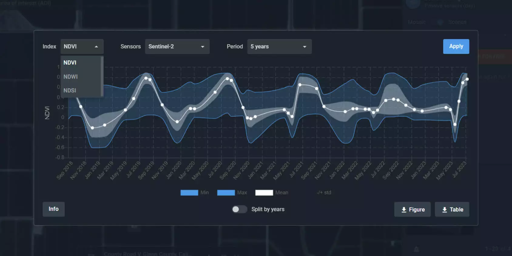
Time-Series Monitoring
Track changes over time using historical and real-time data to analyze trends, detect anomalies, and support policy enforcement or scientific research.
Sentinel 2 Cloudmask
AI-based cloud and cloud shadow processor for Sentinel-2, which operates at a global scale.
A reliable cloud mask is essential for Earth Observation companies as it improves the quality of satellite imagery by filtering out cloud-covered areas. This leads to clearer and more accurate data, which is important for various analytics applications such as surface monitoring, change detection, disaster response, climate research, and military enforcement.
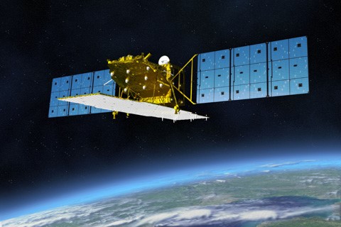
Sentinel 1 3D SAR Data
Developing a passive receiver satellite constellation to enable the vertical dimension in Sentinel data.
Three-dimensional SAR data enables quantification of timber and carbon stock and its change with over 90% accuracy, enabling many high-value applications not available with existing mission data.
Satellite Video
Video of a satellite being deployed in orbit.
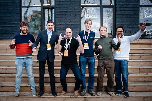
Get in touch with the team

Jürgen Lina
Head of Business Strategy
Kaupo Voormansik
CEO, SAR Expert


Tetiana Shtym
Machine learning engineer